Noatak Wild:
America’s “Ultimate” Wilderness River Adventure
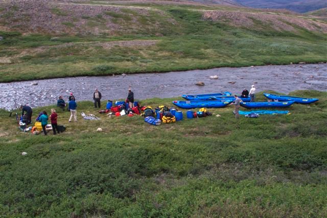
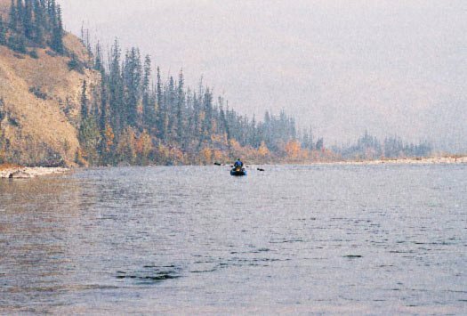
This exciting June 29-July 28, 2003 “passage to the Interior” (translation of “Noatak” in Inupiat language) was a private trip I organized with three fellow Texans to float 436 miles of Alaska’s Noatak River from near its source deep in the Brooks Range’s vast grandeur to its mouth at Chukchi Sea tidewater on Alaska’s west coast.
Highlights of this “perfect” wilderness river trip:
· 30 days in the Land of the Midnight Sun above the Arctic Circle in what has been called the “ultimate mountains”—the world’s northernmost major range (shorter two- and three-week trips are possible with more expensive takeouts)
· Paddling through spectacular mountain scenery yet nestled into the gentle gradient of a low-elevation glacier-carved valley with easy Class I and II rapids
· Chance to paddle the Arctic but in a somewhat gentler environment than that of the North Slope
· Good gravel-bar camping and no portages (short ones if you put in by float-plane out of Bettles instead of wheeled plane out of Coldfoot)
· “a sparer, Arctic version of Africa’s Serengeti” as one Brooks Range expert put it–including caribou, musk oxen, wolf, Dall sheep, moose, grizzly
· Perhaps the finest array of flora anywhere in the far north
· Experiencing most Arctic habitats and distinct scenic variety: mountainous tundra, large basin, broad canyons, mixed boreal forests, coastal delta
· Iimmersion deep within the heart of one the world’s largest parkland areas and finest remaining vast wilderness areas—Gates of the Arctic National Park and Noatak National Preserve
· Untrammeled wildness: No roads, few other river travelers, only one village—weeks from the put-in. From early to mid-July we went 14 days without seeing anyone outside our party.
· Llongest designated Wild River segment and longest floatable mileage of American Arctic rivers
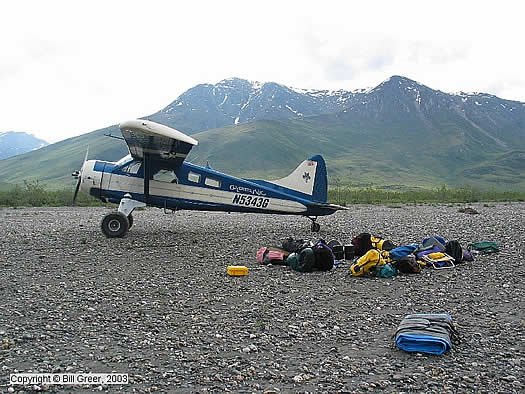
· Iincredible bush-plane put-in flight through spectacular snow-dusted Brooks Range peaks
· Takeout at Kotzebue, one of Alaska’s oldest and largest Inupiat Eskimo villages
One of my proudest accomplishments in 25 years of professional environmental advocacy had been serving on the Alaska Coalition’s staff to help pass the 1980 Alaska National Interest Lands Conservation Act (the 20th Century’s biggest American conservation legislation) that protected the two national park system units we paddled through and many other public lands. Yet prior to this trip I had never seen this magnificent swath of cherished Brooks Range wildland.
Leading the 1982 Texas Women’s Yukon River Expedition 2,000 miles/76 days down Canada/Alaska’s Yukon River had whetted my appetite for something similar to the Yukon (multi-week trip on mostly easy flatwater) but more remote. And my impending fiftieth birthday offered a really good excuse for another really big adventure. So after 25 years of enjoying paddling more than 7,000 miles throughout North America and spending about 400 (including 50 solo) overnights on river trips, I was headed to the wild Arctic.
For this fly-in trip I needed an inside-the-bush-plane packable boat. Because the trip was long and very remote in windswept Arctic waters with negligible rescue, I wanted a boat that was a tough, trustworthy gear- and food-hauler that was stable and forgiving for an extra margin of safety in cold Arctic rapids or wind-driven waves–and preferably also dry and comfortable. And I don’t buy a different boat for each trip, so I wanted something versatile.
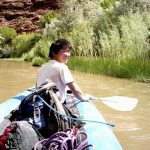
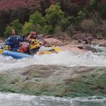
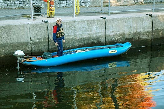
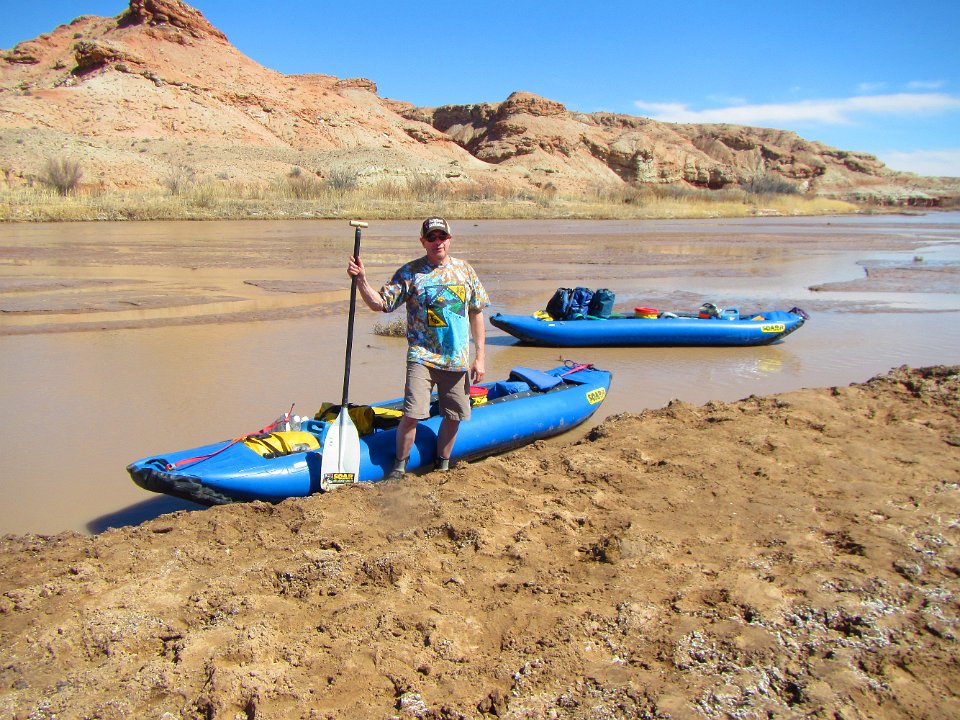
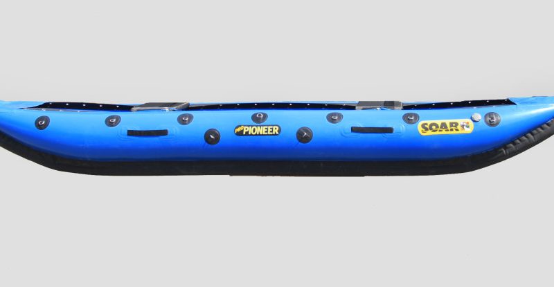
So I reached beyond decades of hard-shell canoe/kayak experience to scrutinize inflatables and collapsibles. After thorough research and test paddling, I chose a SOAR, and it did what I wanted. I paddled a SOAR 12 and Bill and Wayne Greer paddled S14s, each paddling solo with extra-long double-bladed sea kayak paddles (250 cm for me and 260 cm for the guys). Charlie Snider (unlike the rest of us, an expert whitewater paddler) used a collapsible skin-and-frame kayak. (Please feel free to refer anyone considering purchasing a SOAR to my boat-choice research and conclusions on my Web site.)
Previous multi-week solo flatwater trips in Canada and the Lower 48 that I’ve done in hard-shell canoes always had a slight added risk factor from capsize (because I was alone). I now have about 700 miles’ experience in the SOAR over more than 50 paddling days over a year’s time on 9 rivers in 5 states, and I know that for future solo trips I’ll consider paddling it even if the river is road-accessible and flatwater. That’s because even though the whitewater-excelling SOAR design is overkill for flatwater, SOAR’s far superior stability relative to hard-shells affords an extra margin of safety and much more carefree river-running, picture-taking—even sleeping in it in flooded swamps if you had to…. I dub it “Safe On Any River.”
If any SOAR enthusiasts exploring your Web site are considering a Noatak adventure, they’ll find that Noatak river-running information is scant, hard to obtain and vague, contradictory or inaccurate on everything from river mileage to number, class and location of rapids. So please feel free to refer anyone to my Web site for details on obtaining my 43-page Noatak pre-trip research report (including bibliography), upcoming Noatak River narrated photo CD and guidebook-journal, and trip-planning advice/research services for the Noatak and other rivers.
And for Yukon River fans, you might mention to folks trying to track down copies of my 1984 book Yukon Wild: The Adventures of Four Women Who Paddled 2,000 Miles Through America’s Last Frontier (Berkshire Traveller Press, but out of print since 1994) that I do have some remaining new copies in my possession that I’ll autograph (details on my Web site).
The following photographic tour of our Noatak trip is in roughly chronological order.
See you on the river!
Beth Johnson
www.bethjohnson.com
copyright © Elizabeth Johnson, 2003

